Sori Lund hill torrent has a catchment area of about 500 Sq Kms (193 Sq miles). It rises in Suleman Range at an elevation of about 2068 m (6785 ft) above mean sea level in Punjab Province. A number of small branches join the main stream about eight Kms down from its origin.
The stream adopts wavy path but mainly flows in eastern direction receiving flows from numerous small nallahs from the right and left. Sori Lund leaves the hilly area near Mamdani Village and crosses DG Khan Canal. Taunsa – D.G.Khan Section of Pakistan Railways and DG Khan – DI Khan Highway.
Just below the Darrah, the torrent has three main branches – Talli Branch, Jamaler Branch and Nawar Branch. The intake of flows into the three branches is not in accordance with their water rights, because of the unscientific and temporary distribution system. The unequal distribution of flood flows results in excessive discharge in one branch at the cost of other. The flood water poses serious threat to Kachhi Canal, D.G.Khan Canal and Pakistan Railway.
During the year 2013, a super flash flood was experienced on 16.08.13 with a discharge of 97710 cusecs damaged the infrastructures, Kachhi Canal, D.G.Khan Canal, its system allied abadies. A large number of precious properties were damaged by the Sori Lund Hill Torrent flood.
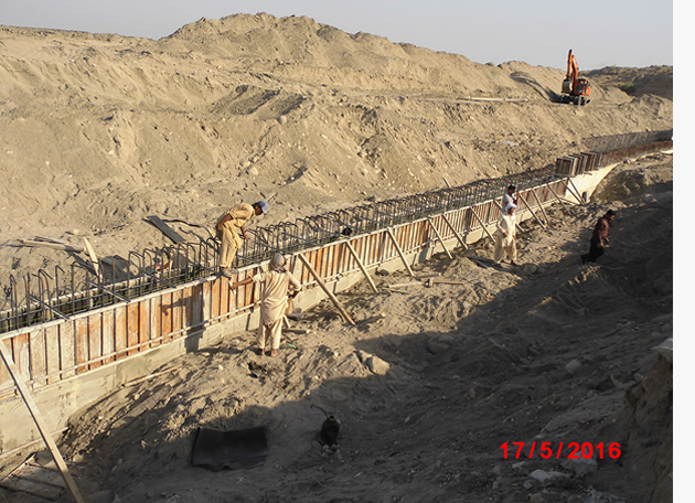
A scheme namely Management of Sori Lund Hill Torrent was approved by competent authority on 18/12/2014 amounting to Rs. 2035.00 million and work is in progress.
On completion of dispersion structure on Nawar Branch which have been designed on 25 years return period discharge (29110 Cusecs), 7405 cusecs outfall in River Indus through Hill Torrent crossing. Balance 21705 cusecs will be utilized in the Haqooq area through 17 No. off take channel and the results achieved through project done till date are as under:-
- Eradication of hill torrent flood damages to the valuable agricultural lands, public properties, villages, abadies & a large irrigation system.
- Protection to the cultivable lands by flood control measures to arrest erosion & harness the flows of hill torrents.
- Make maximum use of flood water for irrigation in PACHAD area.
- Rural area development.
- Poverty alleviation of local inhabitants.
- Eradication of flood damages in the canal command area as well as the PACHAD.
- Make maximum use of flood water for irrigation in the PACHAD to increase production.
- Establish stable farming in the PACHAD area of D.G. Khan District.
- To save local inhabitants from onslaught of flash floods.
- To irrigate vast area of PACHAD in D.G Khan District.
- To increase in yield from 40% to 80%.
- Improvement in civil values by enhancing their income, potential.
- The scheme have been included in the ADP 2015 – 16 and have been approved by the Govt for Rs. 2035 million, the work is in progress & 40% work completed.